Snow set to hit the North West this week as temperatures plummet close to freezing


According to the Met Office, “mild southerly winds will be replaced by colder easterly winds from Europe, as high pressure becomes established to the north east of the UK.”
Will Lang, Chief Meteorologist at the Met Office, said, “Temperatures so far this month have been very mild, with some places this week seeing highs of 16 or 17 Celsius.
Advertisement
Hide AdAdvertisement
Hide AdHowever, this week “temperatures will fall markedly as easterly winds bring much colder air across the country, limiting temperatures by day to between six and nine Celsius.
"At the moment there is little signal for significant wintry conditions, with any snow most likely across higher ground in Scotland and northern England.
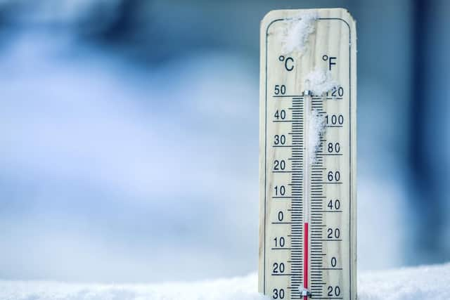
“Temperatures will fall close to or below freezing for many, with frosts increasingly likely through the week.”
Weather forecast for the week
According to the Met Office, today the North West will be "A cold day, and feeling it in a brisk easterly wind. Some bright spells but plenty of showers pushing in from the east, some heavy and perhaps falling as mix of sleet and snow over the higher ground. Maximum temperature 7 °C.
Advertisement
Hide AdAdvertisement
Hide Ad"Staying breezing overnight with the showers continuing to pile in from the east, some still heavy and could be wintry over the hills. Minimum temperature 0 °C."
Wednesday to Friday will see “Early showers on Wednesday easing to leave a fine day with sunshine. A risk of frost and ice early on Thursday and Friday, but often cloudy with occasional showers.”
Looking further ahead for the UK in general, Mr Lang adds: "At the moment, it looks like the cold spell will last until at least the end of next week and possibly into the start of December”.
“There are some signs we may see snowfall to lower levels by then, although it is too early to say with confidence.”