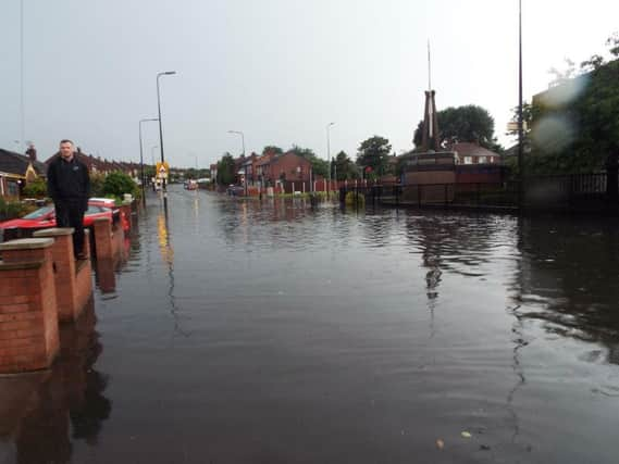
No change to Wigan's flood risk plan despite major incidents


A new document released by the town hall has outlined no plans to upgrade the borough’s risk assessment even though there are areas which suffer from repeated flooding episodes.
Other news: Jobs under threat as retailer announces Wigan branch closureThe report, regarding future risks, says that there has been “no detailed assessment of future risk based on flood events” or updated modelling carried out by the council at this point.
Advertisement
Hide AdAdvertisement
Hide AdHowever in the same document the authority outlined three major flooding incidents, two of which took place in 2012 and one in 2016. In June 2012 , 14 properties at Miry Industrial Estate flooded internally when the Barley Brook burst its banks.
In September eight residential properties and one business flooded at Saddle Junction, Wallgate and Eleanor Street when a “combined sewer” overflowed.
Finally in June 2016 a total of 20 properties flooded internally due to an “unprecedented level of rainfall” that fell in a short period of time. Sixteen of these were in the Hawkley Hall area.
Paul Barton, director for environment at Wigan Council, said: “The preliminary flood risk assessment has been updated in line with government flood risk criteria, the flood risk assessment is approved by the Greater Manchester Combined Authority.
Advertisement
Hide AdAdvertisement
Hide Ad“The 20 properties that were subject to flooding in 2016 were attributed to Hawkley Brook, which is classified as a main river and as a result the Environment Agency in collaboration with the council is currently assessing potential improvement works at various locations.
“Wigan borough has no flood risk areas as the Environment Agency’s Greater Manchester indicative Flood Risk Area does not designate Wigan as a significant risk, this is due to the risk criteria the Environment Agency currently adopt.
“As a result the council is not required to produce flood hazard maps, flood risk maps or flood risk management plans, however the council continues to support other flood risk management authorities such as the Environment Agency and United Utilities in reducing flood risk to properties.”