Historic landfill sites pose '˜high' risk to public health


Investigations into the borough’s former waste burial areas have revealed that four popular public spaces are at high risk of contamination from leaking gases and liquids.
The town hall is looking for a contractor to explore up to 40 of the borough’s 87 closed tips, which are either owned or partially owned by the council.
Advertisement
Hide AdAdvertisement
Hide AdAs part of the advert it has provided an extensive report into the landfill sites, which includes concerns previously raised by consultancy firm, Amec Foster Wheeler over seven “higher risk” locations. A deeper look into the sites will soon take place to assess “unacceptable” risks to residents and the environment and determine the best action to take.
The four following sites have been outlined as a “higher risk” to the public:
Scot Lane: The area houses playing fields, a sports centre and a car park as well as residential and commercial properties. It is also in close proximity to the River Douglas, a controlled area of water. According to the report, existing active gas protection measures were installed in 1990s but have since been deemed “no longer fit for purpose”.
High concentrations of landfill gas have been found at the site’s boundary, posing a potential risk to adjacent property.
Advertisement
Hide AdAdvertisement
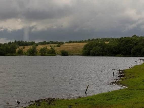
Hide AdPennington Flash: The Wigan beauty spot is used as open space by the public and is also part of Greenheart and a site of biological interest.
A probe into the reservation revealed that landfill gas is a moderate risk to people, property and ecosystems. It also showed that surface and ground waters are at “high risk” of Leachate contamination (water that leaks from a landfill site) and that site users are at “moderate risk”. Visitors are also at “high risk” of coming into contact with exposed waste materials.
Norley Quarry: The area is used as public open space and is surrounded by residential properties. As on Scot Lane, the investigation found that measures put in place in the 1990s are no longer “fit for purpose”.
Princess Road: There are no details about specific risks of contamination at the site, but the area is listed as higher risk. The site is used as public open space and is surrounded by residential properties.
Advertisement
Hide AdAdvertisement
Hide AdThe town hall is looking for a contractor to explore the sites, which are either owned or partially owned by the council.
Paul Barton, assistant director for environment, said: “Some investigations have already been carried out at these sites but there is a need to carry out further investigation to assess their full condition and help us plan their future management.
“We are seeking an organisation to support this work with expertise and knowledge in this area.”