

See how much has changed and how much remains the same.
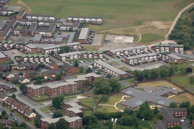
14. 2005
WIGAN AERIAL PICTURE - Montrose Avenue and Greenwood Avenue, Worsley Hall. Photo: Nick Fairhurst
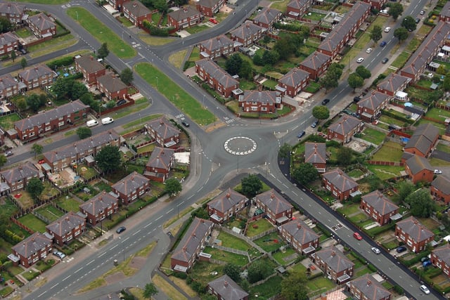
15. 2005
WIGAN AERIAL PICTURES - Guilford Crescent, Beech Hill, leading onto Thicknese Avenue, with Beech Hill Avenue and St Anne's CE Church, bottom, Rose Avenue, top, and The Wellfield Pub on Wellfield Road, top right. Photo: Nick Fairhurst
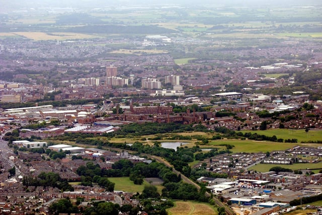
16. 2005
WIGAN AERIAL PICTURES - Wigan town centre viewed from above Pemberton/Highfield with Ormskirk Road leading to the Saddle Junction, left, the railway line from Wigan Wallgate to Liverpool and Warrington Road Industrial Estate and Worsley Mesnes, bottom right. Photo: Nick Fairhurst
4 / 4