Storm Aiden? Will this weekend's storm be big enough to earn a name?
and live on Freeview channel 276
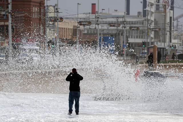
There's certainly some strong winds and heavy rain on the way, but will it be bad enough for the Met Office to give the storm its own name?
We're expecting a deep area of low pressure to develop close to the UK, bringing the potential for severe weather, and the Met Office are monitoring developments and considering whether to name the storm.
Advertisement
Hide AdAdvertisement
Hide AdThe names are issued to humanise the weather events and make them more understandable to members of the public.

Giving a storm a name means people can easily look up how it will impact them.
The Met office explained "With very strong winds forecast, it is possible that countries in the south-west Europe naming group – France, Spain, Portugal and Belgium – may name ‘Storm Alex’, which is the first name on their list for 2020-2021.
"Later on Friday and over the weekend this system will move closer to the UK, bringing heavy rain and strong winds to many areas. Whilst weather warnings may be issued for parts of the UK, at this stage the impacts are not looking severe enough to name ‘Storm Aiden’.
Advertisement
Hide AdAdvertisement
Hide Ad"When a storm is named by another weather service in Europe (see European storm naming groups image above) it is agreed that the same name will be used by all weather services in order to retain a consistent message.
"Similarly, if a weather system impacting the UK were the remnants of a Hurricane that has moved across the Atlantic, we will use the same name, for example ex-Hurricane Ophelia in 2017."
One this is for sure though, it's going to be wet and windy for many of us. Here's our local weekend forecast:
Outlook for Thursday to Saturday:
Cool with sunny spells and scattered showers on Thursday. Generally cloudy and turning cold and windy on Friday and Saturday, with outbreaks of rain and showers throughout.
Sunday onwards:
Advertisement
Hide AdAdvertisement
Hide AdAn unsettled picture is likely for this period, with all parts of the country seeing showery spells as well as times of more prolonged rainfall.
However, southern and western areas are expected to see the worst of these conditions with the most frequent and heaviest rainfall.
Drier and calmer conditions could be seen at times, but likely only for short interludes. Largely windy for most of the country during this period, with a risk of gales at times, particularly along western and southwestern coasts.
Overall, it is likely to feel rather cold as temperatures look set to be around average or below.
During any of the brief calmer interludes overnight frost is also possible in the North.