Storm Eunice: Amber warning in place in Wigan as very high winds expected across the North West
and live on Freeview channel 276
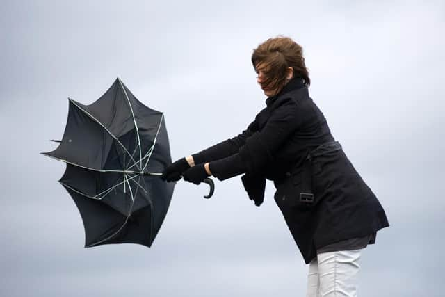
An amber warning, the second highest alert level, for wind is in place across much of the North West until 9pm tonight, while yellow weather warnings, the next level down, for wind and snow are in force across the rest of the county.
The highest 'Red' alert is in place for some coastal areas towards the southwest, including south Wales, from early on Friday before a separate Red Warning comes into force for much of the south and southeast with similar damaging gusts and disruption expected. Wind gusts in the most exposed coastal areas could be in excess of 90mph, which would bring significant impacts for many and represent a danger to life.
Advertisement
Hide AdAdvertisement
Hide AdMet Office Chief Meteorologist Paul Gundersen said: “After the impacts from Storm Dudley for many on Wednesday, Storm Eunice will bring damaging gusts in what could be one of the most impactful storms to affect southern and central parts of the UK for a few years.”


“The red warning areas indicate a significant danger to life as extremely strong winds provide the potential for damage to structures and flying debris. Although the most exposed coastal areas could see gusts in excess of 90mph, winds will remain notably strong further inland, with gusts of between 60-70mph for most within the amber warning area, and up to 80mph in a few places.”
Katharine Smith, Environment Agency Flood Duty Manager, said: “Strong winds could bring coastal flooding to parts of the west, southwest and south coast of England, as well as the tidal River Severn, in the early hours of Friday morning. This is due to Storm Eunice resulting in high waves and potential storm surge coinciding with the start of a period of spring tides.
“You can check your flood risk, sign up for free flood warnings and keep up to date with the latest situation here, call Floodline on 0345 988 1188 or follow @EnvAgency on Twitter for the latest flood updates.”
Advertisement
Hide AdAdvertisement
Hide AdNational Highways Head of Road Safety, Jeremy Phillips, said: “We’re encouraging drivers to check the latest weather and travel conditions before setting off on journeys and consider if their journey is necessary and can be delayed until conditions improve. If you do intend to travel, then plan your trip and take extra care, allowing more time for your journey.
“In high winds, there’s a particular risk to lorries, caravans and motorbikes so we’d advise drivers of these vehicles to slow down.
“Drivers of other vehicles should be aware of sudden gusts of wind which can affect handling and braking, and give high-sided vehicles, caravans, and motorbikes plenty of space. In the event of persistent high winds we may need to close bridges to traffic for a period, so please be alert for warnings of closures and follow signed diversion routes.”
People should make preparations, secure garden furniture and bins, avoid parking near trees and remain cautious.
Advertisement
Hide AdAdvertisement
Hide AdPeople are advised to check their local resilience authorities for ongoing safety advice around travel and preparations.
For more information on how to prepare for severe weather, please visit our WeatherReady advice.
Thanks for reading. If you value what we do and are able to support us, a digital subscription is just £1 for your first month. Try us today by clicking here