
Met Office thunderstorm warning issued for Wigan with flooding and road closures possible


Watch the latest Met Office video forecast, as the forecaster issues a weather warning for Wigan.
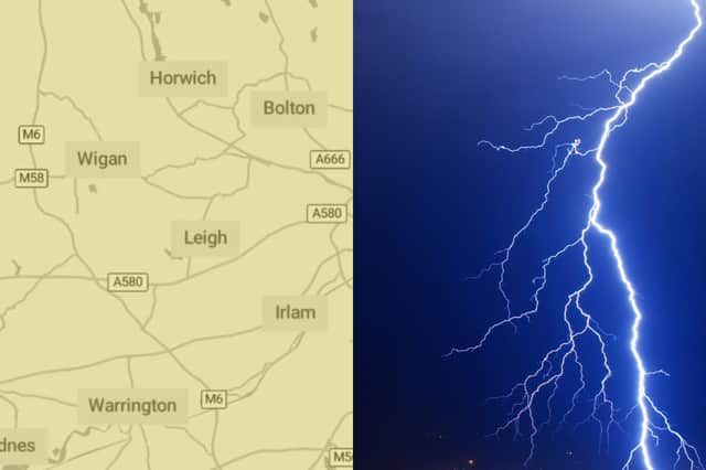
The Met Office has issued a thunderstorm warning for Wigan.
The yellow thunderstorm warning will be in place from 00:00 to 21:00 on July 19.
The warning reads: “Heavy rain, with some thunderstorms, may lead to disruption in places on Friday night and through much of Saturday.
“Spray and sudden flooding could lead to difficult driving conditions and some road closures. Where flooding or lightning strikes occur, there is a chance of delays and some cancellations to train and bus services. Power cuts might occur and other services to some homes and businesses could be lost. Flooding of homes and businesses could happen quickly, with damage to some buildings from floodwater, lightning strikes, hail or strong winds. Fast flowing or deep floodwater is possible, causing a danger to life. Some communities might become cut off if roads flood.
“Areas of heavy rain with embedded thunderstorms will move northwestwards across a large swathe of central and eastern England through Friday night into Saturday. Rain will likely be torrential in places, bringing 20-30 mm in less than an hour, with 60-90 mm in 2-3 hours possible in a few places. Whilst more widespread heavy rain will gradually clear northwestwards during Saturday, additional scattered heavy showers and thunderstorms may develop in its wake during Saturday afternoon and early evening, before eventually decaying later.”
North West Met Office weather forecast
July 18 day
A rather cloudy start to the day with heavy showers initially along the west coast easing and gradually spreading inland. Brighter into the afternoon with sunny spells becoming more prolonged. Feeling warm in the sunshine with light winds. Maximum temperature 24 °C.
July 18 night
A dry evening with late sunny spells, before skies turn cloudier overnight. Heavy showers spread northwards bringing a risk of thunder and hail by dawn. Warm and humid for all. Minimum temperature 15 °C.
July 19
Widely cloudy with rain continuing to spread northwards. Frequent torrential downpours and more prolonged periods of rain bring the risk of thunderstorms and hail. Temperatures suppressed beneath the cloud. Maximum temperature 23 °C.
July 20 to July 22
Remaining unsettled. Further heavy showers continue to bring the risk of thunder and hail throughout the period. Warm and humid in brighter spells, but temperatures suppressed beneath cloudy skies.